How to grow your Drone business: Guide for Agriculture
How to grow your Drone business: Guide for Agriculture
Insiders know it — drones are one of the most powerful tools in agriculture. In this guide, we’ll share insider tips and powerful resources you need to become a successful drone operator in agriculture.
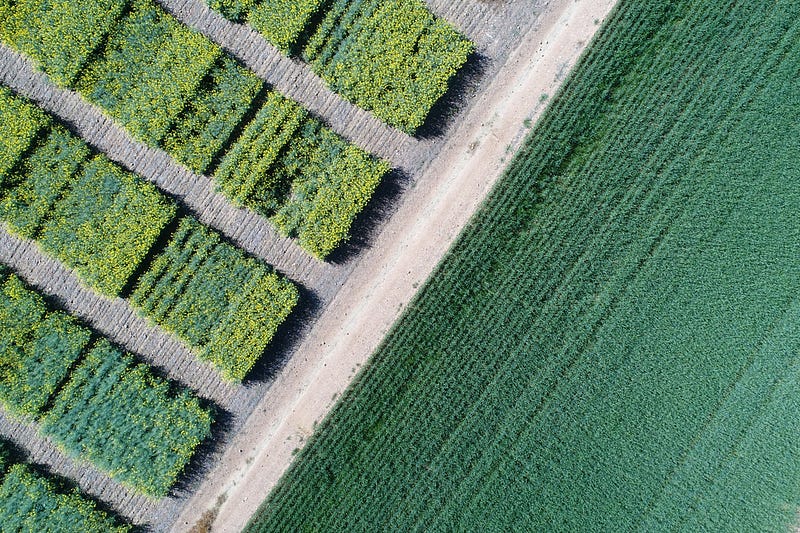
According to the Business Insider magazine, the drone industry was ranked as the best area for businesses to start in 2017. And among all the different areas where drones are currently used, the use of drones in agriculture is considered to be one of the top business opportunities.
To many agriculture experts, this doesn’t come as a surprise. As the successful drone operator Sune Enevoldsen recently pointed out,
“Drones use the space above, and once you start to use that, it is obvious that only the sky’s the limit.”
Simply by capturing fields and forests from above and by analyzing this data, growers are able to obtain information that hasn’t been possible to get until now — especially not at a reasonable price, in such a short amount of time and with such accuracy. Diseases, weeds, water stress, plant counts — these are just some of the data sets your drone can capture which are extremely valuable to growers.
Traditional methods vs. drone data
What growers usually do in order to find out how their plants, crops and trees are performing throughout the season is to walk parts of their fields, collect sample data and use it to make estimations and apply these results to the whole field. But the information they obtain by looking at only small part of the field rarely corresponds to what is really happening in the rest of the field. This then sometimes leaves them with large yield losses and no time to save what could have been saved had they known what was going on before the problem spread and diminished their profits. And walking entire fields is still too time- and resource-consuming and doesn’t guarantee much accuracy either.
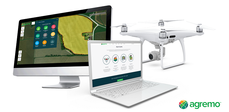
As opposed to this, drones capture large fields in a very short time frame with a very high level of accuracy by capturing every inch of the field.And since every grower needs regular insights during the growing season, drone operators working in agriculture work all year round — a big advantage compared to drone businesses operating in other industries.
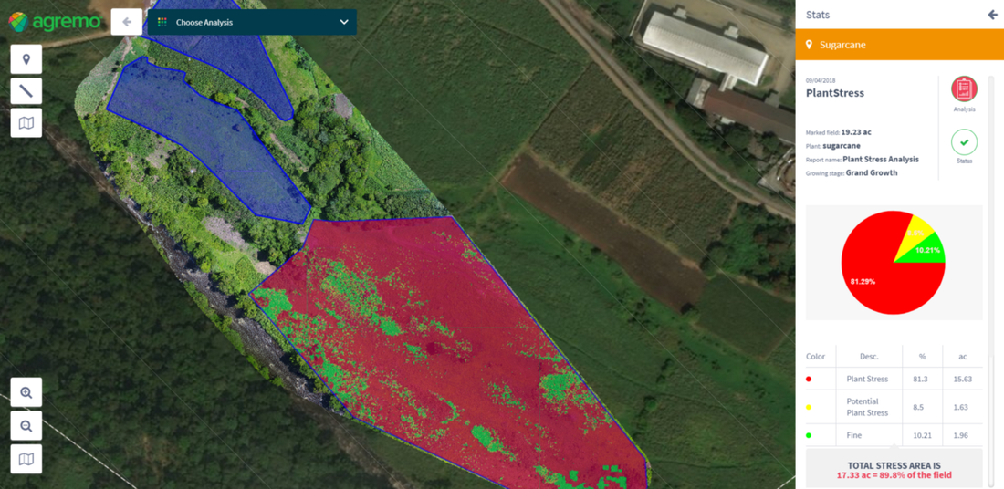
However, one mistake beginners often make is trying to sell raw drone images to growers, which doesn’t bring actual value. The real value lies in analyzed drone data, which is simply obtained by uploading drone maps into a drone data processing solution like Agremo. With currently 10 different kinds of drone data analyses for agriculture, which have been used on over 100 different crop types by users from all over the world, Agremo has been one of the leading drone software solutions on the market for years.
Who benefits from drone data in agriculture?
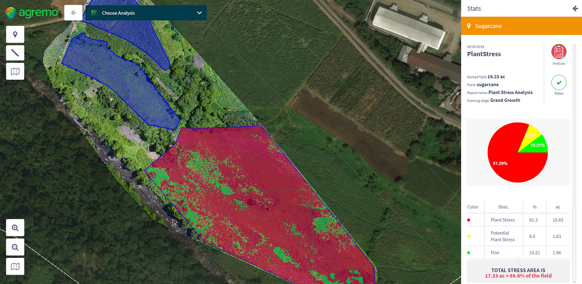
As a drone operator working in agriculture, your services will appeal to a number of people.
Growers and Agronomists
Most drone operators who want to kickstart a career in agriculture start with offering analyses to growers and agronomists. Mainly because they are large in number, easy to approach and since they quickly come to see how big the benefits of drone data are for their business. Generally speaking, the larger their fields, the bigger the savings, but don’t hesitate to offer your services to smaller-scale growers as well. Smaller growers still obtain useful data which benefits them, and you get the chance to build an impressive portfolio. Agronomists, who advise growers on all agricultural questions, are particularly interested in adopting new technology that can bring value to their clients and increase customer loyalty.
The particular challenges growers and agronomists face include inaccurate data sets obtained by traditional methods and uncertainty in various forms, which can all lead to large losses:
- Little or no opportunity to get early yield insights and estimates, they don’t know where to apply fertilizer,
- Where the weed-infested areas are and how big they are,
- They don’t know much about the germination rate of their plants,
- How many plants they actually have
- What caused lower yield — the list of potential pain points is long. And it is also where you as the drone operator come in: all of these challenges can be solved by with drone data.
As to the plant and crop types you can map with drone technology — there are virtually no limits.
Agremo users mapped and analyzed over 100 different plant and crop types, ranging from corn, wheat, mango trees, up to potatoes and broccoli. Read more about the specific needs of the most frequently mapped plants and crops on our website and find out how you and drone data can help them with their problems.
Read more about offering drone services to growers on the Agremo website.
Forest management companies
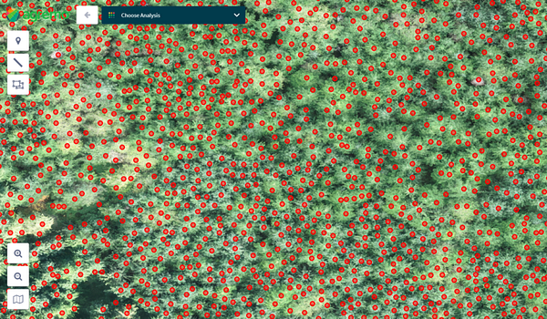
Forest management companieswork with extremely large and inaccessible areas . This makes it difficult for them to obtain accurate data. To most of them, traditional monitoring methods like scouting are time-consuming and not particularly reliable. Which is exactly why the use of drones for forest management is currently skyrocketing: forest management companies use drone & satellitedata to determine the accurate number of trees, to analyze stocking levels for thinning purposes and to estimate lumber potential. Click here to read the story of two drone experts and Agremo users who use drone data in forestry.
Insurance companies
Drone technology is a secure way for insurance companies to improve the accuracy of risk and damage assessments in agriculture. Thanks to drone data, scouting becomes faster and much more accurate, as every inch of the field is thoroughly analyzed and evaluated. Armed with these accurate data sets, insurances get to base payouts on exact facts and avoid potential miscalculations.
Read more about using drone data for insurances on the Agremo website.
Seed and input producers
Industry giants like KWS and Adama have already recognized the value of drone data and Agremo analyses. What ag input companies like them need is a solution that helps them to improve how they monitor R&D fields and increase market share and profit margins. We recommend approaching representatives from companies like these once you have gained some mapping experience in agriculture and built a solid portfolio.
Read more about Agremo for seed producers and input producers on the Agremo website.
Pro tip: Attend agriculture events and drone meetups in your area to connect with potential clients and let them know you are available. Also, forums and online discussion boards like the one from DroneDeploy are a great way to talk to other drone operators from agriculture and ask for help and advice.
What you need to become a drone operator in agriculture
- Permits and insurances
If you have never operated a drone and want to put your drone to use in the US, we recommend reaching out to the FAA to find out which licenses you need, how you can register your drone and which type of insurance would be most suitable for you. If you operate outside of the US, contact the according authority in charge of aviation regulations to make sure you have all the required permits to start selling your drone operating services.
2. The most valuable skill: customer-orientation
While it’s certainly a plus to have prior experience in agriculture, it’s not a must to have extensive knowledge about agriculture or to be a grower yourself in order to work as a drone operator in agriculture. There are many helpful resources online that can tell you what you need to know to sell your services to ag producers (like the free Agremo mapping calendars for 10 different plant and crop types!), but the growers usually know exactly what to do once they see the Agremo reports you provide. Some growers also work with agronomists, which advise them on the best possible action plan; you don’t have to know which fungicide they have to use or which hybrid would have been a better choice for their field. The best skill you can have is to have an open ear for your customers and focus on developing your mapping skills to deliver the best possible data to them.
3. The right hardware and drone equipment
One of the most frequent questions we get from aspiring drone operators is which drone is best for the job when it comes to mapping in agriculture and which camera they need in order to make sure the reports their clients get are accurate.
The first thing we tell them is that you don’t need any expensive equipment to get started with mapping in agriculture.
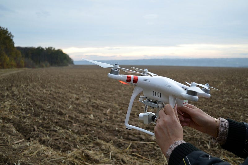
By choosing to work with Agremo analyses, you opt for a hardware-independent solution that can be used with any drone or sensor. Any commercially available drone will do — both fixed wing and multi-rotor, and your sensor can be both RGB or NIR.
